False Color Composite
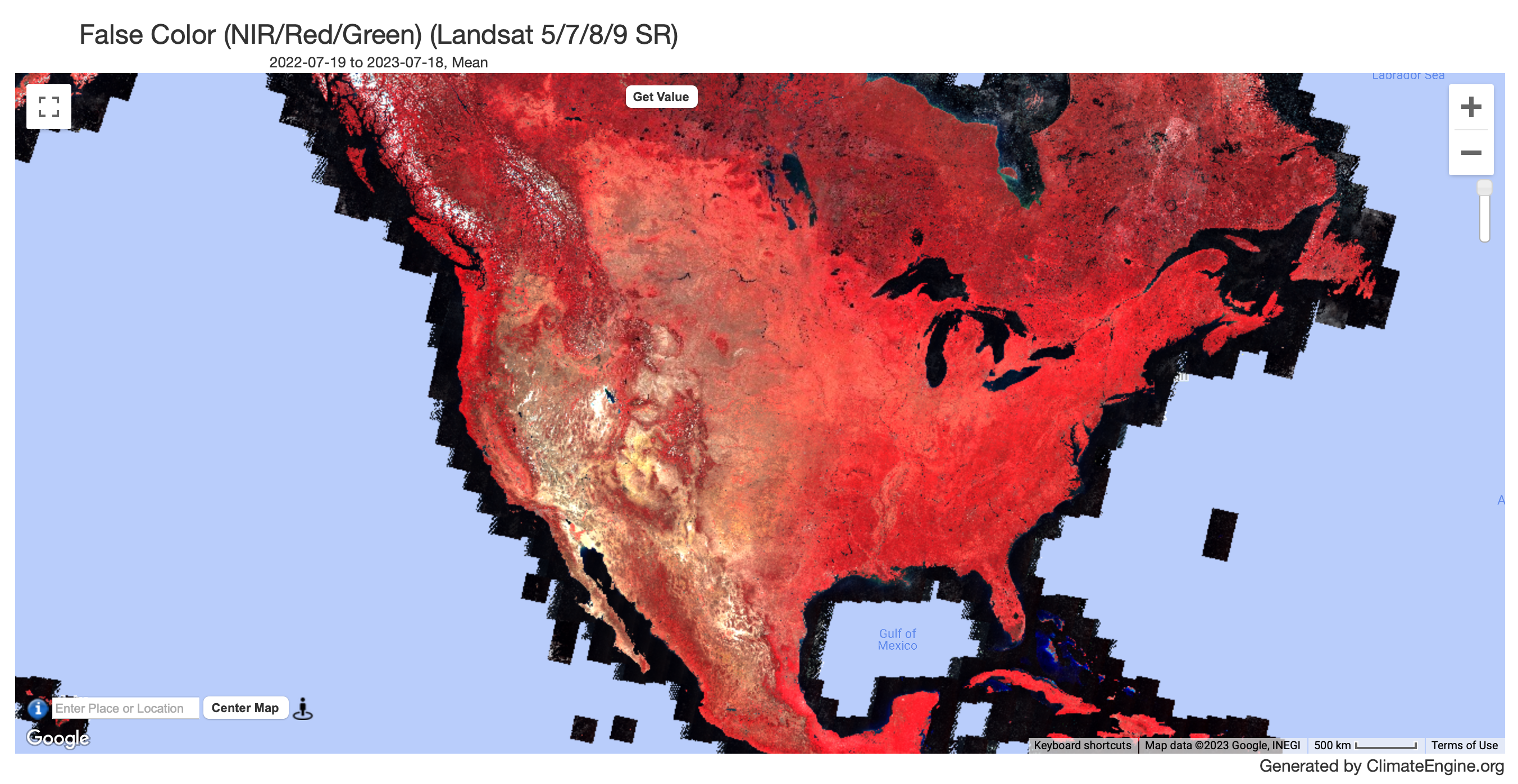 An example map of False Color Composite for July 2022 - July 2023 using Landsat data.
Description
False Color composites provide images of the land's surface in a color scheme which is useful for visually identifying specific features such as clouds, vegetation, urban areas, and open water. This product is specifically useful for visually identifying high cirrus clouds or haze which are normally difficult to identify in a true color image.
False Color (NIR,Red,Green) images are composed of three bands (Near Infrared (NIR), Red, and Green) visualized in the Red, Green, and Blue channels respectively. Since vegetation strongly reflects NIR wavelengths, red areas in the image are heavily vegetated. High cirrus clouds appear as a white haze in the image.