MTBS Fire Boundaries
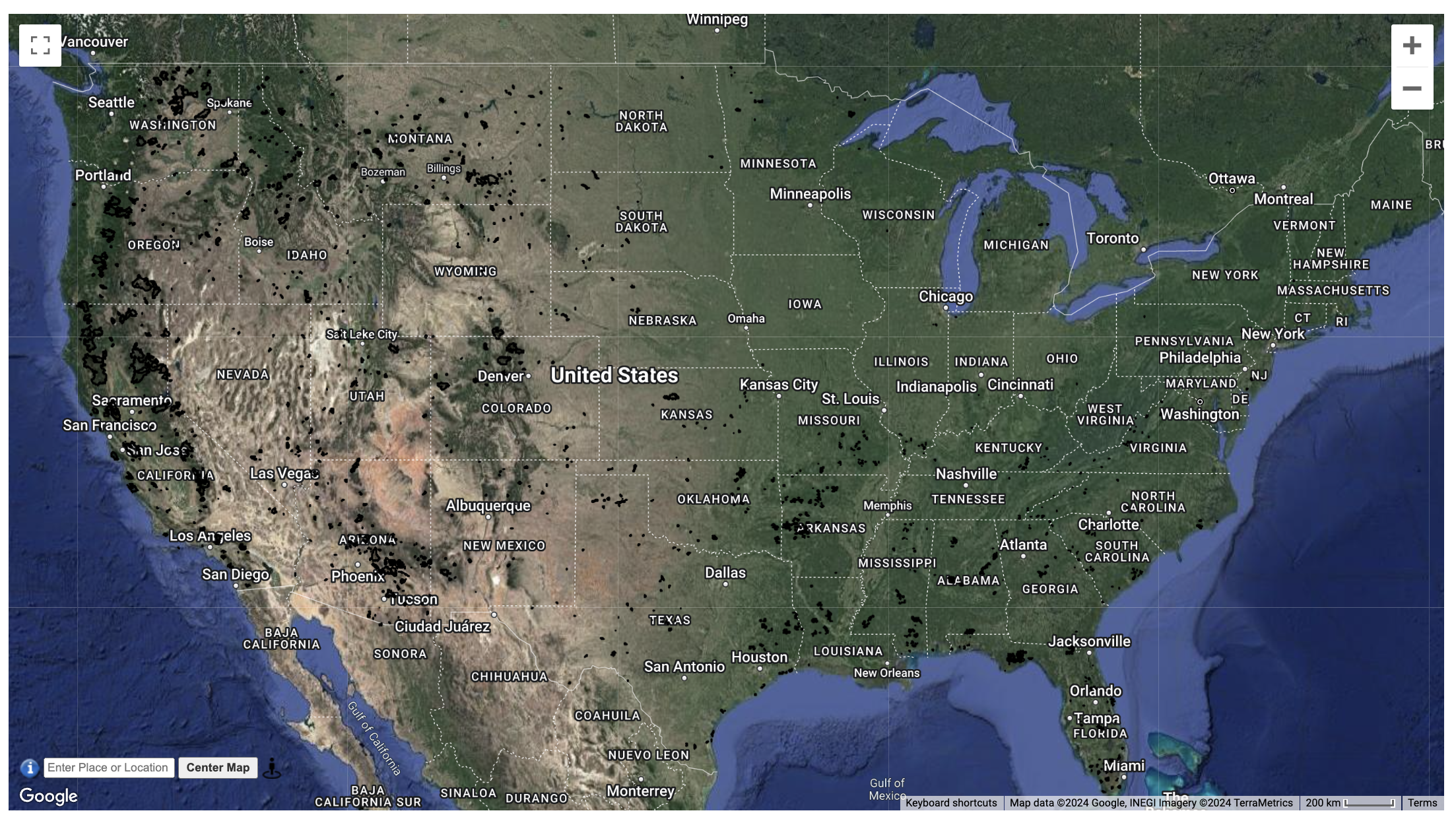 2020 CONUS
Fire Perimeters
Description
Monitoring Trends in Burn Severity (MTBS) is an interagency program whose goal is to consistently map the burn severity and extent of large fires across all lands of the United States from 1984 to present. This includes all fires 1000 acres or greater in the western United States and 500 acres or greater in the eastern Unites States. The extent of coverage includes the continental U.S., Alaska, Hawaii and Puerto Rico.
Organization
Forest Service & Department of Interior
Website
https://www.mtbs.gov , https://www.mtbs.gov/direct-download
Terms of Use
There are no restrictions on use, except for reasonable and proper acknowledgement of information sources.
Version
20231010
References
Eidenshink, J., Schwind, B., Brewer, K., Zhu, Z., & Quayle, B. (2007). A project for monitoring trends in burn severity. Retrieved from https://www.mtbs.gov/sites/mtbs/files/inline-files/Eidenshink-final.pdf
Additional Processing
- Geometeries were cleaned and simplified using Mapshaper. Polygons were simplified to 20% using the Visvalingam/weighted area method.