VIIRS ET SSEBop - 1km - Monthly
Description
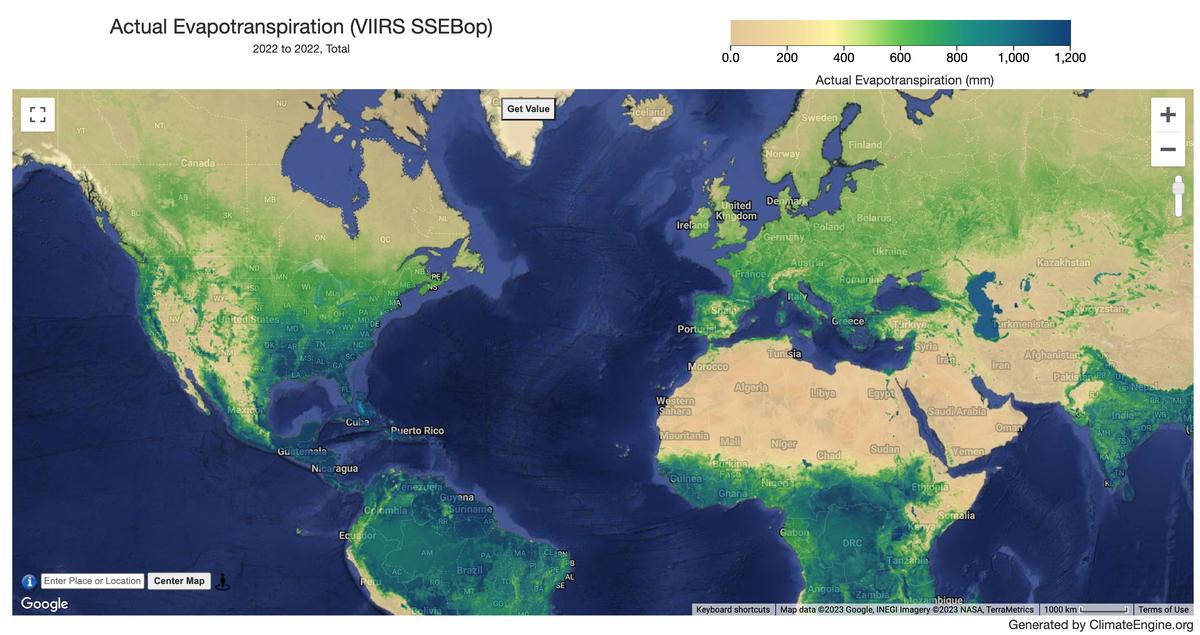
Remote sensing derived evapotranspiration dataset based on VIIRS-thermal imagery and global weather datasets. Climate Engine is using version 6 of the global ET product.
Climate Engine details
- Dataset type
- Remote Sensing
- Climate Engine ID
- USGS_ET_VIIRS_MONTHLY
- Documentation
- https://support.climateengine.org/article/115-usgs-viirs-et
Dataset details
- Scale
- 1km
- Frequency
- Monthly
- Coverage
- Global
- Start year
- 2012
- End year
- Present
Earth Engine collection details
- Earth Engine asset
- projects/usgs-ssebop/viirs_et_v6_monthly
- Earth Engine asset URL
- https://gee-community-catalog.org/projects/usgs_viirs/?h=viir
- Earth Engine source catalog
- ClimateEngine.org
Variables
API variable docs: #usgs-viirs-eta-monthly
| Name | Units |
|---|---|
| Evapotranspiration | mm |
References
- Senay, G.B., Parrish, G.E., Schauer, M., Friedrichs, M., Khand, K., Boiko, O., Kagone, S., Dittmeier, R., Arab, S. and Ji, L., 2023. Improving the Operational Simplified Surface Energy Balance Evapotranspiration Model Using the Forcing and Normalizing Operation. Remote Sensing,15(1), p.260. https://doi.org/10.3390/rs15010260
- Senay, G.B., Kagone S., Velpuri N.M., 2020, Operational Global Actual Evapotranspiration using the SSEBop model: U.S. Geological Survey data release, https://doi.org/10.5066/P9OUVUUI. Publication: https://www.mdpi.com/1424-8220/20/7/1915
- Abatzoglou, J., Dobrowski, S., Parks, S. et al. TerraClimate, a high-resolution global dataset of monthly climate and climatic water balance from 1958-2015. Sci Data 5, 170191 (2018). https://doi.org/10.1038/sdata.2017.191
- Senay, G. B. (2018). Satellite psychrometric formulation of the Operational Simplified Surface Energy Balance (SSEBop) model for quantifying and mapping evapotranspiration. Applied Engineering in Agriculture, 34(3), 555-566. https://doi.org/10.13031/aea.12614
- Velpuri, N. M., Senay, G. B., Singh, R. K., Bohms, S., and Verdin, J. P. (2013). A comprehensive evaluation of two MODIS evapotranspiration products over the conterminous United States: Using point and gridded FLUXNET and water balance ET, Remote Sensing of Environment, 139, 35-49, (Abstract and Article)
- Senay, G. B., Budde, M., Verdin, J. P., & Melesse, A. M. (2007). A coupled remote sensing and simplified surface energy balance approach to estimate actual evapotranspiration from irrigated fields. Sensors, 7(6), 979-1000.
- Chiew, F, Q.J. Wang, F. McConachy, R. James, W. Wright, and G. deHoedt, (2002). Evapotranspiration maps for Australia. Hydrology and Water Resources Symposium, Melbourne, 20-23, 2002, Institution of Engineers, Australia.
Website: https://earlywarning.usgs.gov/fews/search/Global
Processing steps
- The SSEBop setup is based on the Simplified Surface Energy Balance (SSEB) approach (Senay et al., 2007) with unique parameterization for operational applications using a principle of satellite psychrometry (Senay, 2018).
- SSEBop Version 6 is also parameterized using the novel Forcing And Normalizing Operation (FANO) algorithm (Senay et al., 2023) to establish the wet-bulb boundary condition, allowing to robustly model the spatiotemporal dynamics of ETa in all landscapes and all seasons regardless of vegetation cover density.
- A recent evaluation of the global ETa product shows promising performance of ETa Anomaly for drought monitoring purposes while water budget studies, requiring absolute magnitudes, may need to apply a local/region-specific bias correction procedure (Senay et. al, 2020).
- The global ET is derived from the integration of VIIRS-based land surface temperature, maximum air temperature from WorldClim, and reference ET derived from gridded weather datasets such as TerraClimate by Abatzoglou et al. (2018) for the world and Chiew et al., (2002) for Australia.
Terms of use
USGS-authored or produced data and information are considered to be in the U.S. Public Domain