VIIRS - 500m - 16day
Description
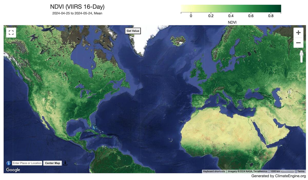
The Suomi National Polar-Orbiting Partnership (S-NPP) NASA Visible Infrared Imaging Radiometer Suite (VIIRS) Vegetation Indices (VNP13A1) data product provides vegetation indices by a process of selecting the best available pixel over a 16-day acquisition period at 500 meter resolution. The VNP13 data products are designed after the Moderate Resolution Imaging Spectroradiometer (MODIS) Terra and Aqua Vegetation Indices product suite to promote the continuity of the Earth Observation System (EOS) mission.
Climate Engine details
- Dataset type
- Remote Sensing
- Climate Engine ID
- VIIRS_16DAY
- Documentation
- https://support.climateengine.org/article/145-viirs-16day-vegetation-indices
Dataset details
- Scale
- 500m
- Frequency
- 16 Day
- Coverage
- Global
- Start year
- 2012
- End year
- Present
Earth Engine collection details
- Earth Engine asset
- NASA/VIIRS/002/VNP13A1
- Earth Engine asset URL
- https://developers.google.com/earth-engine/datasets/catalog/NASA_VIIRS_002_VNP13A1
- Earth Engine source catalog
- Earth Engine Catalog
Variables
API variable docs: #viirs-vegetation-indices-16-day
| Name | Units |
|---|---|
| EVI (Enhanced Vegetation Index (2-band)) | N/A |
| EVI (Enhanced Vegetation Index) | N/A |
| False Color | N/A |
| NDSI (Snow Index) | N/A |
| NDVI (Vegetation Index) | N/A |
| NDWI (Green/NIR) | N/A |
| NDWI (Green/SWIR1) | N/A |
| NDWI (Green/SWIR2) | N/A |
| NDWI (NIR/SWIR1) | N/A |
| NDWI (SWIR1/Green) | N/A |
| True Color | N/A |
References
- None
Website: https://lpdaac.usgs.gov/products/vnp13a1v002/
Terms of use
All data products distributed by NASA's Land Processes Distributed Active Archive Center (LP DAAC) are available at no charge.