VegDRI - 1km - Weekly
Description
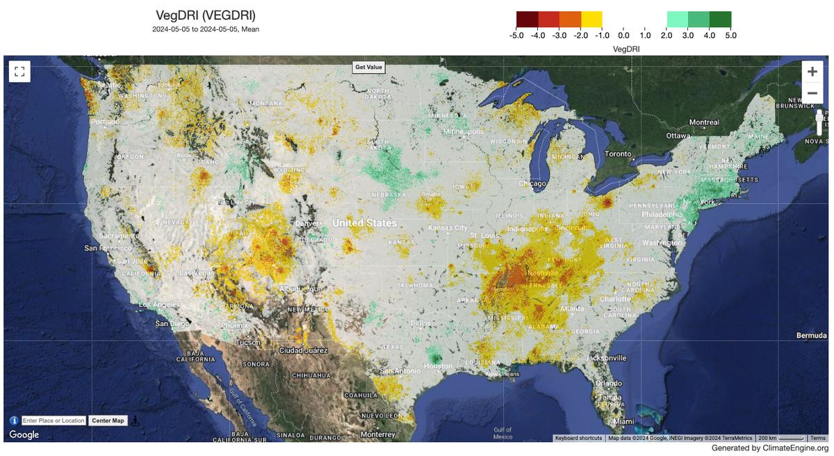
The Vegetation Drought Response Index (VegDRI) is a weekly geospatial model that depicts drought stress on vegetation within the conterminous United States. The development of the VegDRI drought-monitoring tool was a collaborative effort by scientists at the USGS EROS Center, the National Drought Mitigation Center (NDMC) at the University of Nebraska, and the High Plains Regional Climate Center (HPRCC).
Climate Engine details
- Dataset type
- Remote Sensing
- Climate Engine ID
- VEGDRI
- Documentation
- https://support.climateengine.org/article/141-vegdri
Dataset details
- Scale
- 1km
- Frequency
- Weekly
- Coverage
- CONUS
- Start year
- 2009
- End year
- Present
Earth Engine collection details
- Earth Engine asset
- projects/climate-engine-pro/assets/ce-veg-dri
- Earth Engine asset URL
- https://gee-community-catalog.org/projects/veg_dri/?h=vegdr
- Earth Engine source catalog
- ClimateEngine.org
Variables
API variable docs: #vegetation-drought-response-index
| Name | Units |
|---|---|
| VegDRI | % |
References
- Brown, J. F., Wardlow, B. D., Tadesse, T., Hayes, M. J., & Reed, B. C. (2008). The Vegetation Drought Response Index (VegDRI): A New Integrated Approach for Monitoring Drought Stress in Vegetation. GIScience & Remote Sensing, 45(1), 16-46. https://doi.org/10.2747/1548-1603.45.1.16
Website: https://vegdri.unl.edu/Home.aspx
Terms of use
USGS-authored or produced data and information are considered to be in the U.S. Public Domain.