Sentinel 2 SR - 10m - 5day
Description
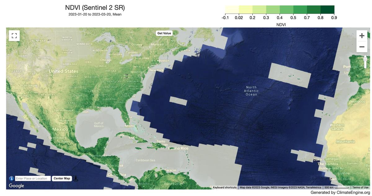
Reflectance data from the Copernicus Sentinel-2 satellite is available for top-of-atmosphere(TOA) and for the earth surface reflectance(SR) in visible, near, and short wave infrared bands. Several vegetation indices are constructed from these bands such as NDVI, EVI, NDSI, NDWI.
Climate Engine details
- Dataset type
- Remote Sensing
- Climate Engine ID
- SENTINEL2_SR
- Documentation
- https://support.climateengine.org/article/85-sentinel-2
Dataset details
- Scale
- 10m
- Frequency
- 5 Day
- Coverage
- Global
- Start year
- 2015
- End year
- Present
Earth Engine collection details
- Earth Engine asset
- COPERNICUS/S2_SR_HARMONIZED
- Earth Engine asset URL
- https://developers.google.com/earth-engine/datasets/catalog/COPERNICUS_S2_SR_HARMONIZED
- Earth Engine source catalog
- Earth Engine Catalog
Variables
API variable docs: #sentinel-2-surface-reflectance
| Name | Units |
|---|---|
| AVI | N/A |
| BSI | N/A |
| Blue | N/A |
| Blue/Nir ratio | N/A |
| DVI | N/A |
| EVI | N/A |
| FCVI | N/A |
| False Color | N/A |
| Green | N/A |
| Green/Blue ratio | N/A |
| Green/Nir ratio | N/A |
| Green/Red ratio | N/A |
| MCARI2 | N/A |
| MSAVI | N/A |
| NBR | N/A |
| NDCI (Red_Edge,RED) | N/A |
| NDRE | N/A |
| NDSI | N/A |
| NDVI | N/A |
| NDWI (Green/SWIR2) | N/A |
| NDWI (Green/NIR) | N/A |
| NDWI (Green/SWIR1) | N/A |
| NDWI (NIR/SWIR1) | N/A |
| NDWI (SWIR1/Green) | N/A |
| NIR | N/A |
| Red | N/A |
| Red/Blue ratio | N/A |
| Red/Nir ratio | N/A |
| SAVI | N/A |
| SWIR1 (1.610 um) | N/A |
| SWIR2 (2.190 um) | N/A |
| SWIR3 (1.375 um) | N/A |
| True Color | N/A |
| VSDI | N/A |
References
- Drusch, M., Del Bello, U., Carlier, S., Colin, O., Fernandez, V., Gascon, F., Hoersch, B., Isola, C., Laberinti, P., Martimort, P., Meygret, A., Spoto, F., Sy, O., Marchese, F., & Bargellini, P. (2012). Sentinel-2: ESA's Optical High-Resolution Mission for GMES Operational Services. Remote Sensing of Environment, 120, 25-36. https://doi.org/10.1016/j.rse.2011.11.026
Website: https://sentinel.esa.int/web/sentinel/home
Processing steps
- ClimateEngine applies the Cloud Score+ cloud mask produced by Google. We use the 'cs' band which provides 'pixel quality score based on spectral distance from a (theoretical) clear reference' set at a quality score of 60.
Terms of use
The use of Sentinel data is governed by the Copernicus Sentinel Data Terms and Conditions.