RAP Cover - 10m - Yearly
Description
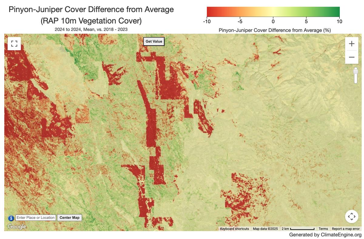
RAP Vegetation Cover 10m provides gridded annual estimates of plant functional group cover classes across rangelands in the western United States. Estimates span 2018-present and are produced at a 10-meter spatial resolution using top-of-atmosphere Sentinel-2 reflectance and a one-dimensional convolutional neural network (1D CNN). The model was trained on 47,833 field plots collected via the Natural Resource Conservation Services' Natural Resources Inventory (NRI), Bureau of Land Management's Assessment, Inventory, and Monitoring (AIM) program, National Park Service, and other contributors. The dataset includes fractional cover for 10 plant functional groups and land cover types-Annual Forbs and Grasses, Perennial Forbs and Grasses, Shrubs, Trees, Litter, Bare Ground, Invasive Annual Grasses, Sagebrush, Pinyon-Juniper. Predictions were made using temporally segmented and log-normalized Sentinel-2 reflectance, spatial coordinates, and derived vegetation indices (NDVI, NBR2). The model demonstrated strong predictive performance and showed slight improvements when compared with 30-m Landsat-based vegetation cover estimates by capturing finer-scale spatiotemporal heterogeneity critical to modeling rangeland ecosystems. Output is provided as annual 10 m GeoTIFFs available and as Google Earth Engine assets.
Climate Engine details
- Dataset type
- Remote Sensing
- Climate Engine ID
- RAP_COVER_10m
- Documentation
- https://support.climateengine.org/article/181-rap-10m
Dataset details
- Scale
- 10m
- Frequency
- Yearly
- Coverage
- CONUS
- Start year
- 2018
- End year
- Present
Earth Engine collection details
- Earth Engine asset
- projects/rap-data-365417/assets/vegetation-cover-10m
- Earth Engine asset URL
- https://gee-community-catalog.org/projects/rap/?h=rangela
- Earth Engine source catalog
- Awesome GEE Community Catalog
Variables
API variable docs: #rap-10m-vegetation-cover
| Name | Units |
|---|---|
| Annual Forb and Grass Cover | % |
| Bare Ground Cover | % |
| Invasive Annual Grass Cover | % |
| Litter Cover | % |
| Perennial Forb and Grass Cover | % |
| Pinyon-Juniper Cover | % |
| Sagebrush Cover | % |
| Shrub Cover | % |
| Tree Cover | % |
References
- Allred, B. W., McCord, S. E., Assal, T. J., Bestelmeyer, B. T., Boyd, C. S., Brooks, A. C., Cady, S. M., Fuhlendorf, S. D., Green, S. A., Harrison, G. R., Jensen, E. R., Kachergis, E. J., Mattilio, C. M., Mealor, B. A., Naugle, D. E., O'Leary, D., Olsoy, P. J., Peirce, E. S., Reinhardt, J. R., Shriver, R. K., Smith, J. T., Tack, J. D., Tanner, A. M., Tanner, E. P., Twidwell, D., Webb, N. P., & Morford, S. L. (2025). Estimating rangeland fractional cover and canopy gap size class with Sentinel-2 imagery. bioRxiv. https://doi.org/10.1101/2025.03.13.643073
Website: https://www.rangelands.app/
Terms of use
Public Domain-CC0