MRRMaid Monthly SF - 10m - Monthly
Description
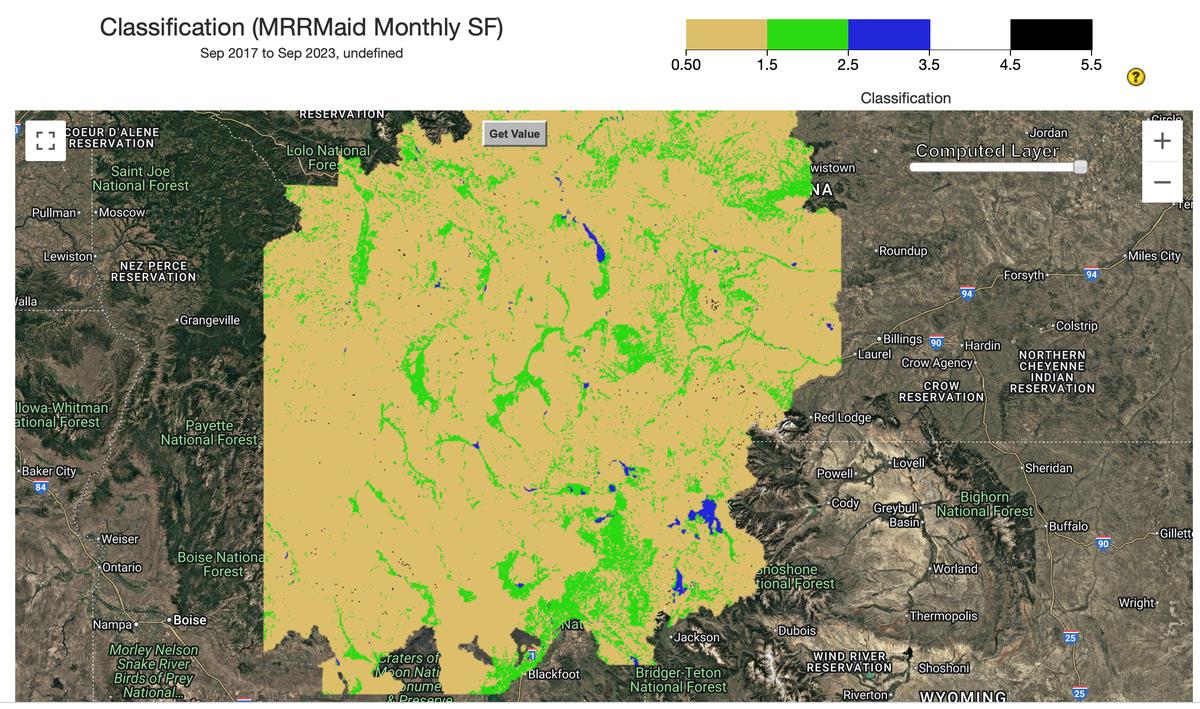
The Mesic Resource Restoration Monitoring Aid (MRRMaid) toolbox is a set of satellite-based monitoring tools for dryland mesic ecosystems in the US Intermountain West. Mesic ecosystems include river corridors (rivers, floodplains, and riparian zones), wetlands, wet meadows, and other freshwater environments. The web apps in this toolbox have been designed so that a user can zoom in and out of specific areas, draw polygons for their area of interest, and then show maps and plots of mesic ecosystem change over time. The monthly product shows mesic vegetation and surface water during the growing season.
Climate Engine details
- Dataset type
- Remote Sensing
- Climate Engine ID
- MRRMaid_Monthly_SF
- Documentation
- https://support.climateengine.org/article/168-mrrmaid-monthly-classification
Dataset details
- Scale
- 10m
- Frequency
- Monthly
- Coverage
- Western US
- Start year
- 2017
- End year
- 2023
Earth Engine collection details
- Earth Engine asset
- projects/ee-hd-waterapp/assets/HD_SF
- Earth Engine source catalog
- Private Collection
Variables
API variable docs: #mrrmaid-monthly-sf
| Name | Units |
|---|---|
| classification | N/A |
| mesic_binary | N/A |
| upland_binary | N/A |
| water_binary | N/A |
References
- Kolarik, N. E., Roopsind, A., Pickens, A., & Brandt, J. S. (2023). A satellite-based monitoring system for quantifying surface water and mesic vegetation dynamics in a semi-arid region. Ecological Indicators, 147, 109965.
- Kolarik, N., Brooks, A., Caughlin, T., Jensen, E., Jochems, L., Brandt, J., 2026. Evidence of low watershed resilience across the Western United States. https://doi.org/10.31223/X5CJ23
Website: https://www.boisestate.edu/hes/projects/mrrmaid-mesic-resource-restoration-monitoring-aid/
Terms of use
Creative Commons Attribution 4.0 International (CC BY 4.0)