Landsat 8 TOA - 30m - 16day
Description
Landsat 8 Collection 2 Tier 1 calibrated top-of-atmosphere (TOA) reflectance. Calibration coefficients are extracted from the image metadata. See Chander et al. (2009) for details on the TOA computation. Landsat scenes with the highest available data quality are placed into Tier 1 and are considered suitable for time-series processing analysis. Tier 1 includes Level-1 Precision Terrain (L1TP) processed data that have well-characterized radiometry and are inter-calibrated across the different Landsat sensors. The georegistration of Tier 1 scenes will be consistent and within prescribed tolerances [<=12 m root mean square error (RMSE)]. All Tier 1 Landsat data can be considered consistent and inter-calibrated (regardless of sensor) across the full collection. See more information in the USGS docs.
Climate Engine details
- Dataset type
- Remote Sensing
- Climate Engine ID
- LANDSAT8_TOA
- Documentation
- https://support.climateengine.org/article/69-landsat
Dataset details
- Scale
- 30m
- Frequency
- 16 Day
- Coverage
- Global
- Start year
- 2013
- End year
- Present
Earth Engine collection details
- Earth Engine asset
- LANDSAT/LC08/C02/T1_RT_TOA
- Earth Engine asset URL
- https://developers.google.com/earth-engine/datasets/catalog/LANDSAT_LC08_C02_T1_RT_TOA
- Earth Engine source catalog
- Earth Engine Catalog
Variables
API variable docs: #landsat-8-top-of-atmosphere
| Name | Units |
|---|---|
| AVI | N/A |
| Blue | N/A |
| Blue/NIR ratio | N/A |
| Chlorophyll A calculated from Green and Blue bands | N/A |
| DVI | N/A |
| EVI | N/A |
| FCVI | N/A |
| False Color | N/A |
| Green | N/A |
| Green/Blue ratio | N/A |
| Green/NIR ratio | N/A |
| Green/Red ratio | N/A |
| Land Surface Temperature | N/A |
| MSAVI | N/A |
| NBR | N/A |
| NDSI | N/A |
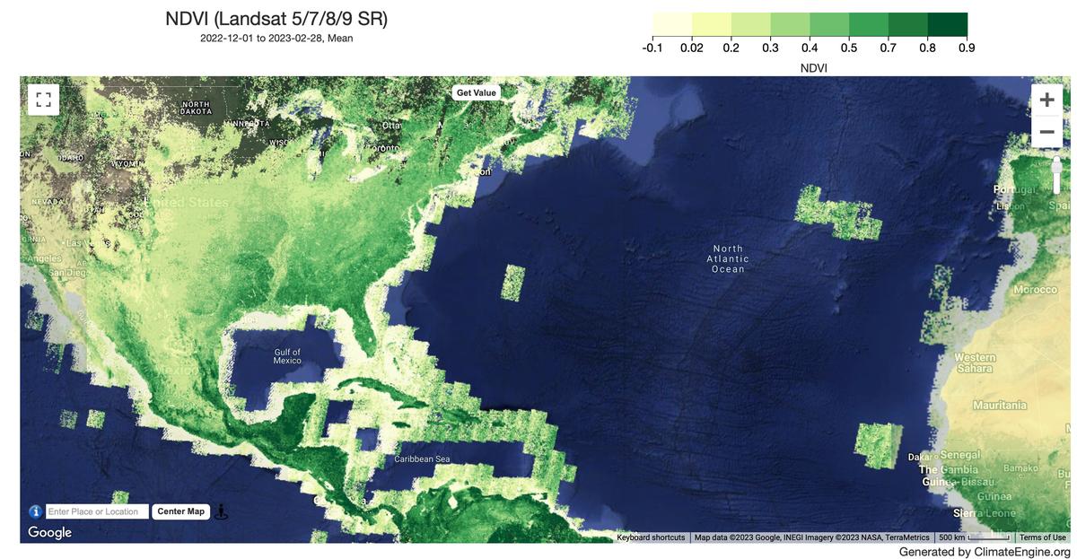
| NDVI | N/A |
| NDWI (Green/SWIR2) | N/A |
| NDWI (Green/NIR) | N/A |
| NDWI (Green/SWIR1) | N/A |
| NDWI (NIR/SWIR1) | N/A |
| NDWI (SWIR1/Green) | N/A |
| NIR | N/A |
| Red | N/A |
| Red/Blue ratio | N/A |
| Red/NIR ratio | N/A |
| SAVI | N/A |
| SWIR1 | N/A |
| SWIR2 | N/A |
| True Color | N/A |
References
- None
Website: https://landsat.usgs.gov/
Terms of use
Landsat datasets are federally created data and therefore reside in the public domain and may be used, transferred, or reproduced without copyright restriction. Acknowledgement or credit of the USGS as data source should be provided by including a line of text citation such as the example: (Product, Image, Photograph, or Dataset Name) courtesy of the U.S. Geological Survey. See the USGS Visual Identity System Guidance for further details on proper citation and acknowledgement of USGS products.