Landsat 7 SR - 30m - 16day
Description
This dataset contains atmospherically corrected surface reflectance and land surface temperature derived from the data produced by the Landsat 7 ETM+ sensor. These images contain 4 visible and near-infrared (VNIR) bands and 2 short-wave infrared (SWIR) bands processed to orthorectified surface reflectance, and one thermal infrared (TIR) band processed to orthorectified surface temperature. They also contain intermediate bands used in calculation of the ST products, as well as QA bands.
Climate Engine details
- Dataset type
- Remote Sensing
- Climate Engine ID
- LANDSAT7_SR
- Documentation
- https://support.climateengine.org/article/69-landsat
Dataset details
- Scale
- 30m
- Frequency
- 16 Day
- Coverage
- Global
- Start year
- 1999
- End year
- 2024
Earth Engine collection details
- Earth Engine asset
- LANDSAT/LE07/C02/T1_L2
- Earth Engine asset URL
- https://developers.google.com/earth-engine/datasets/catalog/LANDSAT_LE07_C02_T1_L2
- Earth Engine source catalog
- Earth Engine Catalog
Variables
API variable docs: #landsat-7-surface-reflectance
| Name | Units |
|---|---|
| AVI | N/A |
| Blue | N/A |
| Blue/NIR ratio | N/A |
| Chlorophyll A calculated from Green and Blue bands | N/A |
| DVI | N/A |
| EVI | N/A |
| FCVI | N/A |
| False Color | N/A |
| Green | N/A |
| Green/Blue ratio | N/A |
| Green/NIR ratio | N/A |
| Green/Red ratio | N/A |
| Land Surface Temperature | N/A |
| MSAVI | N/A |
| NBR | N/A |
| NDSI | N/A |
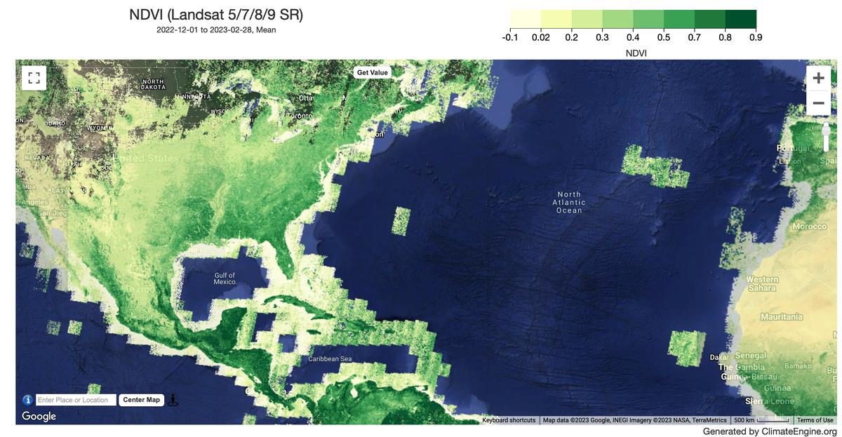
| NDVI | N/A |
| NDWI (Green/SWIR2) | N/A |
| NDWI (Green/NIR) | N/A |
| NDWI (Green/SWIR1) | N/A |
| NDWI (NIR/SWIR1) | N/A |
| NDWI (SWIR1/Green) | N/A |
| NIR | N/A |
| Red | N/A |
| Red/Blue ratio | N/A |
| Red/NIR ratio | N/A |
| SAVI | N/A |
| SWIR1 | N/A |
| SWIR2 | N/A |
| True Color | N/A |
References
- None
Website: https://landsat.usgs.gov/
Processing steps
- The Collection 2 CFMask algorithm is applied to each Collection 2 Surface Reflectance dataset. The cloud masking attempts to remove medium and high confidence snow, shadow and cirrus clouds using the BQA quality band provided in the Landsat GEE collection. You can read more about the mask here.
- The Collection 2 RADSAT mask is applied to each Collection 2 Surface Reflectance dataset. You can read more about the mask here.
- Scaling and offset are applied. Band order is changed to align with Landsat
- Band names are changed to common names. Pan-chromatic band, high gain thermal band, Coastal Band, Cirrus Band are not included.4) NOTE: We do not apply additional harmonization between Landsat sensors. While the need for harmonization coefficients in Landsat Collection 1 was demonstrated, Landsat Collection 2 Tier 1 products, as provided in Climate Engine, are considered appropriate for cross-sensor timeseries analysis without additional harmonization. See our article for more information.
Terms of use
Landsat datasets are federally created data and therefore reside in the public domain and may be used, transferred, or reproduced without copyright restriction. Acknowledgement or credit of the USGS as data source should be provided by including a line of text citation such as the example: (Product, Image, Photograph, or Dataset Name) courtesy of the U.S. Geological Survey. See the USGS Visual Identity System Guidance for further details on proper citation and acknowledgement of USGS products.