Blended VHP - 4km - Weekly
Description
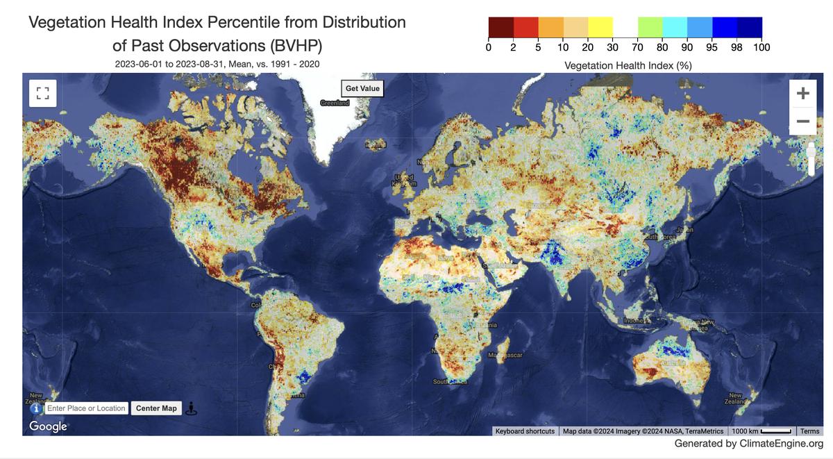
Blended-VHP is a re-processed Vegetation Health data set derived from VIIRS (2013-present) and AVHRR (1981-2012) GAC data. The images are color-coded maps showing vegetation health using Vegetation Health (VH) Indices, ranging from 0 (poor) to 100 (excellent). Green represents fair conditions, with brown and red for worsening and blue for improving. VH measures changes in vegetation based on chlorophyll, moisture, and surface temperature, helping detect drought early. Values below 40 indicate stress, making VH useful for monitoring drought impacts on vegetation and crops.
Climate Engine details
- Dataset type
- Remote Sensing
- Climate Engine ID
- BVHP
- Documentation
- https://support.climateengine.org/article/151-blended-vhp
Dataset details
- Scale
- 4km
- Frequency
- Weekly
- Coverage
- Global
- Start year
- 1981
- End year
- Present
Earth Engine collection details
- Earth Engine asset
- projects/climate-engine-pro/assets/ce-bvhp
- Earth Engine source catalog
- ClimateEngine.org
Variables
API variable docs: #bvhp-4km-daily
| Name | Units |
|---|---|
| Smoothed Brightness Temperature | Dimensionless |
| Smoothed NDVI | Dimensionless |
| Temperature Condition Index | Dimensionless |
| Vegetation Condition Index | Dimensionless |
| Vegetation Health Index | Dimensionless |
References
- None
Website: https://www.star.nesdis.noaa.gov/smcd/emb/vci/VH/vh_ftp.php
Terms of use
NOAA's publicly released environmental data and products (including most satellite-derived products) are made available under NOAA's open data principles, which broadly permit reuse, redistribution, derivative work creation, and research and commercial utilization, subject to applicable laws and policies.