Monitoring Trends in Burn Severity - 30m - Yearly
Description
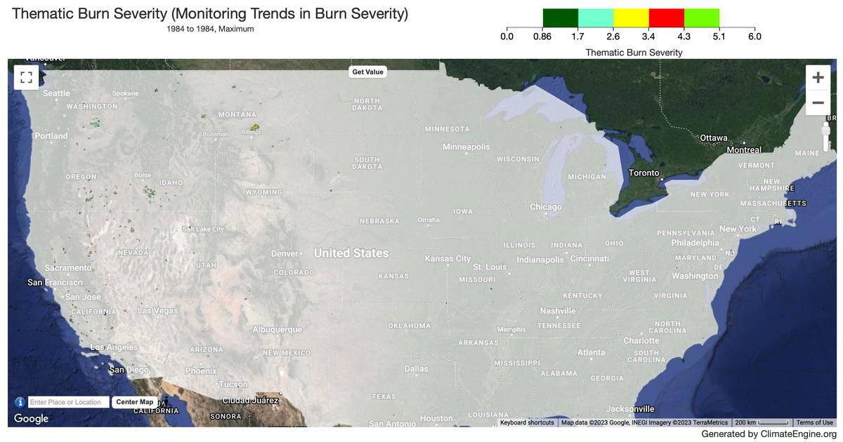
Monitoring Trends in Burn Severity (MTBS) is an interagency program whose goal is to consistently map the burn severity and extent of large fires across all lands of the United States from 1984 to present. This includes all fires 1000 acres or greater in the western United States and 500 acres or greater in the eastern United States. The extent of coverage includes the continental U.S., Alaska, Hawaii, and Puerto Rico. To produce the data Landsat images are analyzed through a standardized and consistent methodology, generating products at a 30-meter resolution dating back to 1984.
Climate Engine details
- Dataset type
- Hazards
- Climate Engine ID
- MTBS
- Documentation
- https://support.climateengine.org/article/72-mtbs
Dataset details
- Scale
- 30m
- Frequency
- Yearly
- Coverage
- US
- Start year
- 1984
- End year
- Present
Earth Engine collection details
- Earth Engine asset
- projects/climate-engine-pro/assets/mtbs_mosaics_annual
- Earth Engine asset URL
- https://developers.google.com/earth-engine/datasets/catalog/USFS_GTAC_MTBS_annual_burn_severity_mosaics_v1?hl=en
- Earth Engine source catalog
- Earth Engine Catalog
Variables
| Name | Units |
|---|---|
| Thematic Fire Severity | N/A |
References
- Eidenshink, J., Schwind, B., Brewer, K. et al. A Project for Monitoring Trends in Burn Severity. fire ecol 3, 3-21 (2007). https://doi.org/10.4996/fireecology.0301003
Website: https://www.mtbs.gov/
Terms of use
The USDA Forest Service makes no warranty, expressed or implied, including the warranties of merchantability and fitness for a particular purpose, nor assumes any legal liability or responsibility for the accuracy, reliability, completeness or utility of these geospatial data, or for the improper or incorrect use of these geospatial data. These geospatial data and related maps or graphics are not legal documents and are not intended to be used as such. The data and maps may not be used to determine title, ownership, legal descriptions or boundaries, legal jurisdiction, or restrictions that may be in place on either public or private land. Natural hazards may or may not be depicted on the data and maps, and land users should exercise due caution. The data are dynamic and may change over time. The user is responsible to verify the limitations of the geospatial data and to use the data accordingly. These data were collected using funding from the U.S. Government and can be used without additional permissions or fees.