MODIS Fire Burned Area -500m
Description
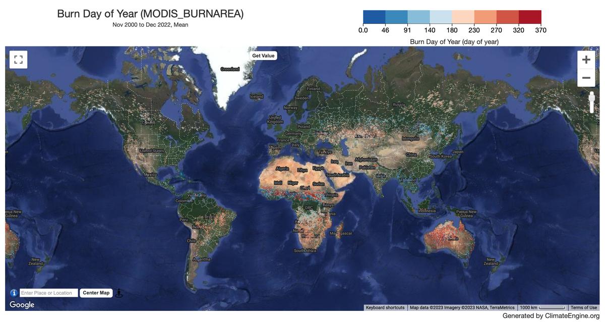
The Terra and Aqua combined MCD64A1 Version 6 Burned Area data product is a monthly, global gridded 500m product containing per-pixel burned-area and quality information. The MCD64A1 burned-area mapping approach employs 500m MODIS Surface Reflectance imagery coupled with 1km MODIS active fire observations. The algorithm uses a burn sensitive vegetation index (VI) to create dynamic thresholds that are applied to the composite data. The VI is derived from MODIS shortwave infrared atmospherically corrected surface reflectance bands 5 and 7 with a measure of temporal texture. The algorithm identifies the date of burn for the 500m grid cells within each individual MODIS tile. The date is encoded in a single data layer as the ordinal day of the calendar year on which the burn occurred, with values assigned to unburned land pixels and additional special values reserved for missing data and water grid cells.
Climate Engine details
- Dataset type
- Hazards
- Climate Engine ID
- MODIS_BURNAREA
- Documentation
- https://support.climateengine.org/article/107-modis-burned-area
Dataset details
- Scale
- 500m
- Frequency
- Monthly
- Coverage
- Global
- Start year
- 2000
- End year
- Present
Earth Engine collection details
- Earth Engine asset
- MODIS/006/MCD64A1
- Earth Engine asset URL
- https://developers.google.com/earth-engine/datasets/catalog/MODIS_061_MCD64A1
- Earth Engine source catalog
- Earth Engine Catalog
Variables
API variable docs: #modis-burned-area-monthly
| Name | Units |
|---|---|
| Burn Day of Year | N/A |
| First Day of Year of Reliable Change Detection | N/A |
| Last Day of Year of Reliable Change Detection | N/A |
References
- None
Website: https://ladsweb.modaps.eosdis.nasa.gov/filespec/MODIS/6/MCD64A1
Terms of use
MODIS data and products acquired through the LP DAAC have no restrictions on subsequent use, sale, or redistribution.