WLDAS - 1.1km - Daily
Description
WLDAS uses meteorological observables including precipitation, incoming shortwave and longwave radiation, near surface air temperature, humidity, wind speed, and surface pressure along with parameters such as vegetation class, soil texture, and elevation as inputs to a model that simulates land surface the energy and water budget processes. Outputs of the model include soil moisture, snow depth and snow water equivalent, evapotranspiration, soil temperature, as well as derived quantities such as groundwater recharge and anomalies of the state variables.
Climate Engine details
- Dataset type
- Climate/Hydrology
- Climate Engine ID
- WLDAS
- Documentation
- https://support.climateengine.org/article/137-wldas
Dataset details
- Scale
- 1.1km
- Frequency
- Daily
- Coverage
- Western US
- Start year
- 1980
- End year
- Present
Earth Engine collection details
- Earth Engine asset
- projects/climate-engine-pro/assets/ce-wldas/daily
- Earth Engine source catalog
- ClimateEngine.org
Variables
API variable docs: #western-land-data-assimilation-system-wldas
| Name | Units |
|---|---|
| ASCE Alfalfa Reference Evapotranspiration | mm |
| ASCE Grass Reference Evapotranspiration | mm |
| Actual Evapotranspiration | mm |
| Climatic Water Balance (PPT-ETo) | mm |
| Downward Heat Flux in Soil | W m-2 |
| Evaporative Demand Drought Index (EDDI) | N/A |
| Groundwater Storage | mm |
| Mean Temperature | K |
| Precipitation | mm |
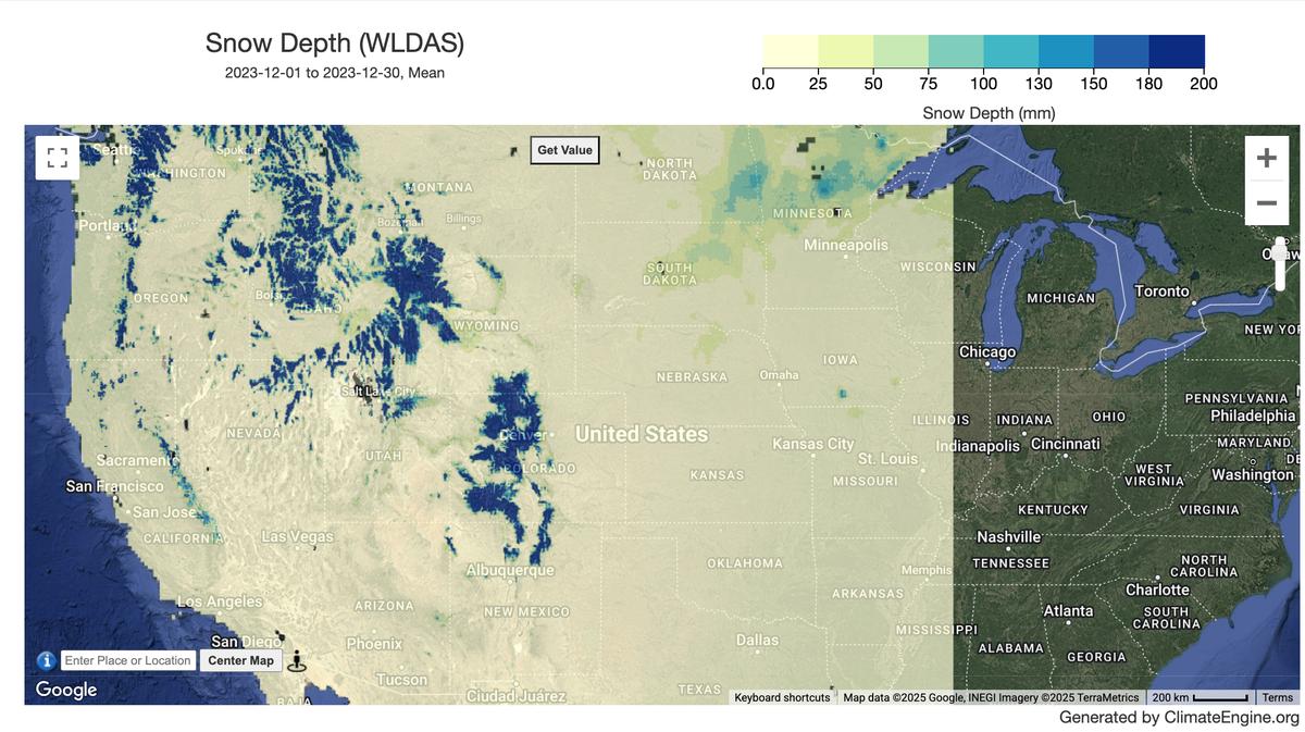
| Snow Depth | mm |
| Snow Sublimation | mm |
| Snow Water Equivalent | mm |
| Snowfall Rate | mm |
| Snowmelt | mm |
| Soil Moisture 0-10cm | mm |
| Soil Moisture 10-40cm | mm |
| Soil Moisture 100-200cm | mm |
| Soil Moisture 40-100cm | mm |
| Soil Temperature 0-10cm | K |
| Soil Temperature 10-40cm | K |
| Soil Temperature 100-200cm | K |
| Soil Temperature 40-100cm | K |
| Specific Humidity | 1/1000 kg/kg |
| Standardized Precipitation Evapotranspiration Index (SPEI) | N/A |
| Standardized Precipitation Index (SPI) | N/A |
| Subsurface Runoff Amount | mm |
| Surface Downwelling Shortwave Flux in Air | W/m^2 |
| Surface Net Downward Longwave Flux | W m-2 |
| Surface Net Downward Shortwave Flux | W/m^2 |
| Surface Pressure | kPa |
| Surface Runoff Amount | mm |
| Surface Snow Area Fraction as Percent | ratio |
| Surface Upward Latent Heat Flux | W m-2 |
| Surface Upward Sensible Heat Flux | W m-2 |
| TWS_tavg | mm |
| WaterTableD_tavg | mm |
| Wind Speed | m/s |
References
- Erlingis, J.M., M. Rodell, C.D. Peters-Lidard, B. Li, S.V. Kumar, J.S. Famiglietti, S.L. Granger, J.V. Hurley, P.-W. Liu, and D.M. Mocko. 2021. 'A High-Resolution Land Data Assimilation System Optimized for the Western United States.' Journal of the American Water Resources Association 57(5): 692-710. https://doi.org/10.1111/1752-1688.12910.
Website: https://ldas.gsfc.nasa.gov/wldas
Terms of use
Distribution of data from the Goddard Earth Sciences Data and Information Services Center (GES DISC) is funded by NASA's Science Mission Directorate (SMD). Consistent with NASA Earth Science Data and Information Policy, data from the GES DISC archive are available free to the user community. For more information visit the GES DISC Data Policy page.