USDM - 2.5km - Weekly
Description
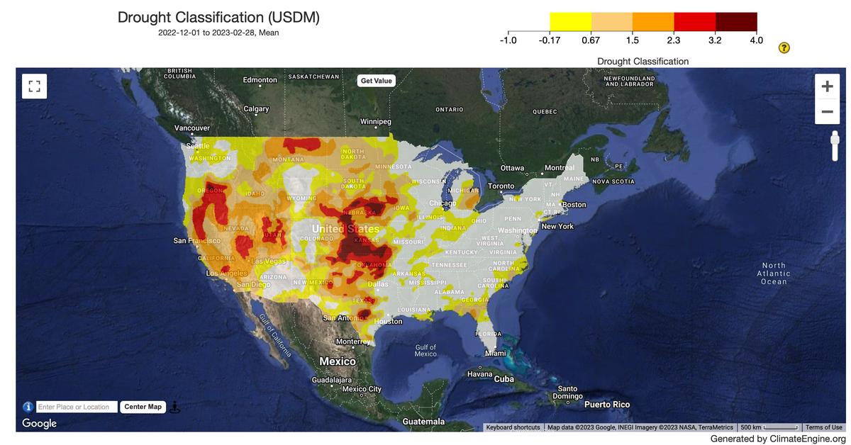
The US Drought Monitor (USDM) raster dataset is produced by the National Centers for Environmental Information (NCEI) and the National Oceanic and Atmospheric Administration's (NOAA) National Integrated Drought Information System (NIDIS).
Climate Engine details
- Dataset type
- Climate/Hydrology
- Climate Engine ID
- USDM
- Documentation
- https://support.climateengine.org/article/89-usdm
Dataset details
- Scale
- 2.5km
- Frequency
- Weekly
- Coverage
- CONUS
- Start year
- 2001
- End year
- Present
Earth Engine collection details
- Earth Engine asset
- projects/climate-engine/usdm/weekly
- Earth Engine asset URL
- https://gee-community-catalog.org/projects/usdm/?h=usdm#drought-categories
- Earth Engine source catalog
- ClimateEngine.org
Variables
API variable docs: #usdm-drought-monitor
| Name | Units |
|---|---|
| US Drought Monitor Classification | N/A |
References
- The U.S. Drought Monitor is jointly produced by the National Drought Mitigation Center at the University of Nebraska-Lincoln, the United States Department of Agriculture, and the National Oceanic and Atmospheric Administration. Map courtesy of NDMC.
Website: https://droughtmonitor.unl.edu/
Terms of use
This is a public dataset. As a condition of using these data, you are asked to cite the use of this data set.