SNODAS - 1km - Daily
Description
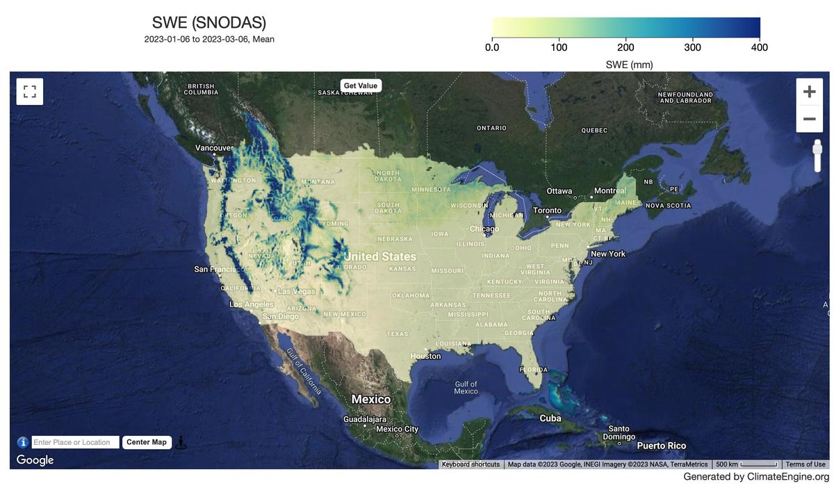
The National Operational Hydrologic Remote Sensing Center (NOHRSC) at NOAA produces the SNOw Data Assimilation System (SNODAS) which is a modeling and data assimilation system developed to provide the best possible estimates of snow cover and associated parameters to support hydrologic modeling and analysis.
Climate Engine details
- Dataset type
- Climate/Hydrology
- Climate Engine ID
- SNODAS
- Documentation
- https://support.climateengine.org/article/44-snodas
Dataset details
- Scale
- 1km
- Frequency
- Daily
- Coverage
- CONUS
- Start year
- 2003
- End year
- Present
Earth Engine collection details
- Earth Engine asset
- projects/earthengine-legacy/assets/projects/climate-engine/snodas/daily
- Earth Engine asset URL
- https://gee-community-catalog.org/projects/snodas/?h=snod
- Earth Engine source catalog
- ClimateEngine.org
Variables
API variable docs: #snodas
| Name | Units |
|---|---|
| Snow Depth | mm |
| Snow Water Equivalent (SWE) | mm |
References
- Barrett, Andrew. 2003. National Operational Hydrologic Remote Sensing Center Snow Data Assimilation System (SNODAS) Products at NSIDC. NSIDC Special Report
- Boulder, CO USA: National Snow and Ice Data Center. 19 pp.
Terms of use
As a condition of using these data, you must cite the use of this data set.