RTMA - 2.5km - Daily
Description
The Real-Time Mesoscale Analysis (RTMA) is a high-spatial and temporal resolution analysis for near-surface weather conditions. This dataset includes hourly analyses at 2.5 km for CONUS.
Climate Engine details
- Dataset type
- Climate/Hydrology
- Climate Engine ID
- RTMA
- Documentation
- https://support.climateengine.org/article/84-rtma
Dataset details
- Scale
- 2.5 km
- Frequency
- Daily
- Coverage
- North America
- Start year
- 2011
- End year
- Present
Earth Engine collection details
- Earth Engine asset
- projects/climate-engine/rtma/daily
- Earth Engine asset URL
- https://explorer.earthengine.google.com/#detail/NOAA%2FNWS%2FRTMA
- Earth Engine source catalog
- ClimateEngine.org
Variables
API variable docs: #regional-deterministic-precipitation-system
| Name | Units |
|---|---|
| Air Pressure | kPa |
| Alfalfa Reference ET | mm |
| Climatic Water Balance (PPT-ETo) | mm |
| Dew Point Temperature | K |
| Evap. Demand Drought Index (EDDI) | N/A |
| Evap. Demand Drought Index Hargreaves (EDDI) | N/A |
| Grass Reference ET | mm |
| Incoming Shortwave Solar Radiation | W/m^2 |
| Maximum Temperature | K |
| Maximum Temperature | K |
| Potential ET Hargreaves | mm |
| Potential Water Deficit Hargreaves | mm |
| Precipitation | mm |
| Specific Humidity | 1/1000 kg/kg |
| Standardized Precipitation Evapotranspiration Index (SPEI) | N/A |
| Standardized Precipitation Index (SPI) | N/A |
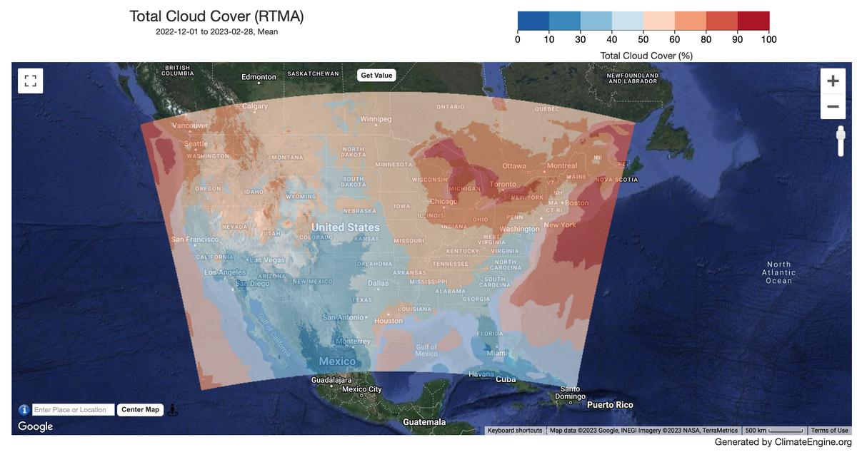
| Total Cloud Cover | % |
| Wind Direction (from which blowing) | N/A |
| Wind Speed | m/s |
References
- De Pondeca, M. S. F. V., Manikin, G. S., DiMego, G., Benjamin, S. G., Parrish, D. F., Purser, R. J., Wu, W., Horel, J. D., Myrick, D. T., Lin, Y., Aune, R. M., Keyser, D., Colman, B., Mann, G., & Vavra, J. (2011). The Real-Time Mesoscale Analysis at NOAA's National Centers for Environmental Prediction: Current Status and Development, Weather and Forecasting, 26(5), 593-612. Retrieved Sep 19, 2022, from https://journals.ametsoc.org/view/journals/wefo/26/5/waf-d-10-05037_1.xml
Website: https://www.nco.ncep.noaa.gov/pmb/products/rtma/#RTMA2p5
Terms of use
NOAA data, information, and products, regardless of the method of delivery, are not subject to copyright and carry no restrictions on their subsequent use by the public. Once obtained, they may be put to any lawful use. The forgoing data is in the public domain and is being provided without restriction on use and distribution. For more information visit the NWS disclaimer site.