PERSIANN CDR - 24km - Daily
Description
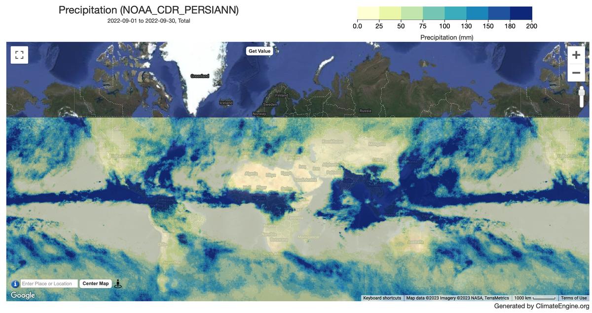
PERSIANN-CDR is a daily quasi-global precipitation product that spans the period from 1983-01-01 to present. The data is produced quarterly, with a typical lag of three months. The product is developed by the Center for Hydrometeorology and Remote Sensing at the University of California, Irvine (UC-IRVINE/CHRS) using Gridded Satellite (GridSat-B1) IR data that are derived from merging ISCCP B1 IR data, along with GPCP version 2.2.
Climate Engine details
- Dataset type
- Climate/Hydrology
- Climate Engine ID
- NOAA_CDR_PERSIANN
- Documentation
- https://support.climateengine.org/article/79-persiann-cdr
Dataset details
- Scale
- 24km
- Frequency
- Daily
- Coverage
- Global
- Start year
- 1983
- End year
- Present
Earth Engine collection details
- Earth Engine asset
- NOAA/PERSIANN-CDR
- Earth Engine asset URL
- https://developers.google.com/earth-engine/datasets/catalog/NOAA_PERSIANN-CDR
- Earth Engine source catalog
- Earth Engine Catalog
Variables
API variable docs: #noaa-persiann-cdr
| Name | Units |
|---|---|
| Precipitation | mm |
| Standardized Precipitation Index (SPI) | N/A |
References
- Publications using this dataset should also cite the following journal article: Ashouri H., K. Hsu, S. Sorooshian, D. K. Braithwaite, K. R. Knapp, L. D. Cecil, B. R. Nelson, and O. P. Prat, 2015: PERSIANN-CDR: Daily Precipitation Climate Data Record from Multi-Satellite Observations for Hydrological and Climate Studies. Bull. Amer. Meteor. Soc., doi: https://doi.org/10.1175/BAMS-D-13-00068.1.
- Sorooshian, Soroosh; Hsu, Kuolin; Braithwaite, Dan; Ashouri, Hamed; and NOAA CDR Program (2014): NOAA Climate Data Record (CDR) of Precipitation Estimation from Remotely Sensed Information using Artificial Neural Networks (PERSIANN-CDR), Version 1 Revision
- [indicate subset used]. NOAA National Centers for Environmental Information. doi:10.7289/V51V5BWQ [access date].
Website: https://www.ncei.noaa.gov/metadata/geoportal/rest/metadata/item/gov.noaa.ncdc:C00854/html
Terms of use
CDR data sets are nonproprietary, publicly available, and no restrictions are placed upon their use. For additional information, see the Fair Use of NOAA's CDR Data Sets, Algorithms and Documentation document.