NOAA OISST - 24km - Daily
Description
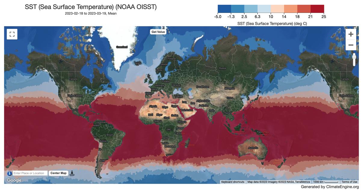
The NOAA Optimum Interpolation Sea Surface Temperature is an analysis constructed by combining observations from different platforms (satellites, ships, buoys and Argo floats) on a regular global grid. A spatially complete SST map is produced by interpolating to fill in gaps. The methodology includes bias adjustment of satellite and ship observations (referenced to buoys) to compensate for platform differences and sensor biases.
Climate Engine details
- Dataset type
- Climate/Hydrology
- Climate Engine ID
- OISST
- Documentation
- https://support.climateengine.org/article/77-oisst
Dataset details
- Scale
- 24km
- Frequency
- Daily
- Coverage
- Global
- Start year
- 1981
- End year
- Present
Earth Engine collection details
- Earth Engine asset
- NOAA/CDR/OISST/V2_1
- Earth Engine asset URL
- https://developers.google.com/earth-engine/datasets/catalog/NOAA_CDR_OISST_V2_1
- Earth Engine source catalog
- Earth Engine Catalog
Variables
API variable docs: #noaa-oisst
| Name | Units |
|---|---|
| Sea Ice Concentration | % |
| Sea Surface Pressure | K |
References
- Richard W. Reynolds, Viva F. Banzon, and NOAA CDR Program (2008): NOAA Optimum Interpolation 1/4 Degree Daily Sea Surface Temperature (OISST) Analysis, Version
- [indicate subset used]. NOAA National Centers for Environmental Information. doi:10.7289/V5SQ8XB5 [access date].
Website: https://psl.noaa.gov/data/gridded/data.noaa.oisst.v2.html
Terms of use
The NOAA CDR Program's official distribution point for CDRs is NOAA's National Climatic Data Center which provides sustained, open access and active data management of the CDR packages and related information in keeping with the United States' open data policies and practices as described in the President's Memorandum on "Open Data Policy" and pursuant to the Executive Order of May 9, 2013, "Making Open and Machine Readable the New Default for Government Information". In line with these policies, the CDR data sets are nonproprietary, publicly available, and no restrictions are placed upon their use. For more information, see the Fair Use of NOAA's CDR Data Sets, Algorithms and Documentation pdf.