NLDAS2 - 12km - Daily
Description
The Land Data Assimilation System (LDAS) combines multiple sources of observations (such as precipitation gauge data, satellite data, and radar precipitation measurements) to produce estimates of climatological properties at or near the Earth's surface. This dataset is the primary (default) forcing file (File A) for Phase 2 of the North American Land Data Assimilation System (NLDAS-2). The data are in 1/8th-degree grid spacing; the temporal resolution is hourly.
Climate Engine details
- Dataset type
- Climate/Hydrology
- Climate Engine ID
- NLDAS2_DAILY
- Documentation
- https://support.climateengine.org/article/76-nldas2
Dataset details
- Scale
- 12km
- Frequency
- Daily
- Coverage
- North America
- Start year
- 1979
- End year
- Present
Earth Engine collection details
- Earth Engine asset
- projects/eddi-noaa/nldas/daily
- Earth Engine source catalog
- ClimateEngine.org
Variables
API variable docs: #north-american-land-data-assimilation-system-reanalysis-nldas
| Name | Units |
|---|---|
| Daily alfalfa reference ET | mm |
| Daily grass reference ET | mm |
| Evap. Demand Drought Index Hargreaves (EDDI) | N/A |
| Evaporative Demand Drought Index (EDDI) | N/A |
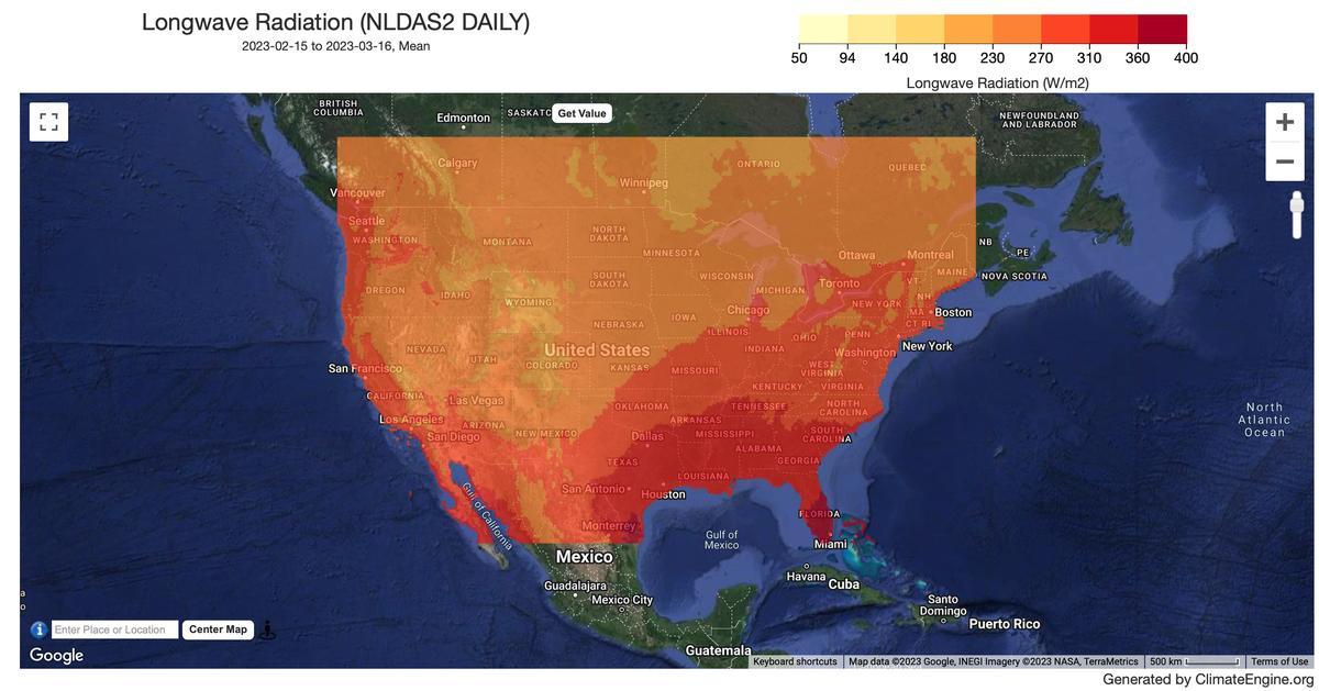
| Longwave Radiation | W/m^2 |
| Maximum Temperature | K |
| Mean Temperature | K |
| Minimum Temperature | K |
| Potential ET Hargreaves | mm |
| Potential Water Deficit | mm |
| Potential Water Deficit Hargreaves | mm |
| Precipitation | m/s |
| Pressure | kPa |
| Shortwave Radiation | W/m^2 |
| Specific Humidity | 1/1000 g/kg |
| Standardized Precipitation Evapotranspiration Index (SPEI) | N/A |
| Standardized Precipitation Evapotranspiration Index Hargreaves (SPEI) | N/A |
| Standardized Precipitation Index (SPI) | N/A |
| Wind | m/s |
References
- Mitchell et al (2004. The multi-institution North American Land Data Assimilation System (NLDAS): Utilizing multiple GCIP products and partners in a continental distributed hydrological modeling system, J. Geophys. Res., 109, D07S90 https://doi.org/10.1029/2003JD003823 2) Xia et al (2012): Continental-scale water and energy flux analysis and validation for the North American Land Data Assimilation System project phase 2 (NLDAS-2): 1. Intercomparison and application of model products, J. Geophys. Res., 117, D03109. https://doi.org/10.1029/2011JD016048
Website: https://ldas.gsfc.nasa.gov/nldas/v2/models
Processing steps
- Daily assets are being generated from the hourly assets available in Earth Engine (source collection ID: NASA/NLDAS/FORA0125_H002).
- Reference ET is being computed directly from the daily aggregations (i.e. NOT as the sum of the hourlies).
- The 'day' is defined as 6 UTC to 6 UTC. The start date is lagged by one day because of the 6 UTC start time.
- The average daily wind speed was computed as the average of the hourly wind speed computed from the wind vector components.
Terms of use
Distribution of data from the Goddard Earth Sciences Data and Information Services Center (GES DISC) is funded by NASA's Science Mission Directorate (SMD). Consistent with NASA Earth Science Data and Information Policy, data from the GES DISC archive are available free to the user community. For more information visit the GES DISC Data Policy page.