GridMET - 4km - Daily
Description
GridMET is a dataset of daily high-spatial resolution (~4-km, 1/24th degree) surface meteorological data covering the contiguous US from 1979-yesterday. The data extend to cover southern British Columbia in our real time products. These data can provide important inputs for ecological, agricultural, and hydrological models and are data are updated daily. gridMET is the preferred naming convention for these data; however, the data are also known as cited as METDATA. GridMET blends spatial attributes of gridded climate data from PRISM with desirable temporal attributes (and additional variables) from regional reanalysis (NLDAS-2) using climatically aided interpolation. The resulting product is a spatially and temporally complete, high-resolution (1/24th degree ~4-km) gridded dataset of surface meteorological variables.
Climate Engine details
- Dataset type
- Climate/Hydrology
- Climate Engine ID
- GRIDMET
- Documentation
- https://support.climateengine.org/article/66-gridmet
Dataset details
- Scale
- 4km
- Frequency
- Daily
- Coverage
- CONUS
- Start year
- 1979
- End year
- Present
Earth Engine collection details
- Earth Engine asset
- IDAHO_EPSCOR/GRIDMET
- Earth Engine asset URL
- https://developers.google.com/earth-engine/datasets/catalog/IDAHO_EPSCOR_GRIDMET
- Earth Engine source catalog
- Earth Engine Catalog
Variables
API variable docs: #gridmet
| Name | Units |
|---|---|
| ASCE Alfalfa Reference Evapotranspiration | mm |
| ASCE Grass Reference Evapotranspiration | mm |
| Average Temperature | K |
| Burning Index | N/A |
| Climatic Water Balance (PPT-ETo) | mm |
| Custom Metric from Regression Equation | N/A |
| Dew Point Temperature | K |
| Downwelling Shortwave Radiation | W/m^2 |
| Energy Release Component | N/A |
| Evap. Demand Drought Index Hargreaves (EDDI) | N/A |
| Evaporative Demand Drought Index (EDDI) | N/A |
| Fuel Moisture (100-hr) | N/A |
| Fuel Moisture (1000-hr) | N/A |
| Maximum Temperature | K |
| Maximum Temperature | K |
| Minimum Relative Temperature | % |
| Minimum Relative Temperature | % |
| Palmer Drought Severity Index (PDSI) | N/A |
| Potential ET Hargreaves | mm |
| Potential Water Deficit Hargreaves | mm |
| Precipitation | mm |
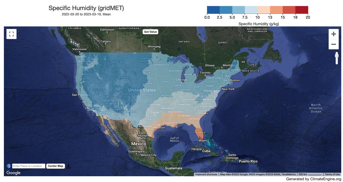
| Specific Humidity | 1/1000 kg/kg |
| Standardized Precipitation Evapotranspiration Index (SPEI) | N/A |
| Standardized Precipitation Evapotranspiration Index Hargreaves (SPEI) | N/A |
| Standardized Precipitation Index (SPI) | N/A |
| Vapor Pressure Deficit | kPa |
| Wind Speed Near Surface | m/s |
References
- Abatzoglou J. T. "Development of gridded surface meteorological data for ecological applications and modelling". International Journal of Climatology. (2011) doi: 10.1002/joc.3413.
Website: http://www.climatologylab.org/gridmet.html
Processing steps
- For Minimum/Maximum Temperature, Precipitation, Minimum/Maximum/Specific Humidity variables, a 'day' is defined as the 24 hours ending at 12:00 Greenwich Mean Time (GMT, or 7:00am Eastern Standard Time).
- For Radiation and Wind variables, a 'day' is defined as 6 UTC to 6 UTC.
Terms of use
CC BY 4.0