GLDAS - 24km - Daily
Description
Global Land Data Assimilation System (GLDAS) ingests satellite and ground-based observational data products. Using advanced land surface modeling and data assimilation techniques, it generates optimal fields of land surface states and fluxes.
Climate Engine details
- Dataset type
- Climate/Hydrology
- Climate Engine ID
- GLDAS
- Documentation
- https://support.climateengine.org/article/64-gldas
Dataset details
- Scale
- 24km
- Frequency
- Daily
- Coverage
- Global
- Start year
- 2000
- End year
- Present
Earth Engine collection details
- Earth Engine asset
- NASA/GLDAS/V021/NOAH/G025/T3H
- Earth Engine asset URL
- https://developers.google.com/earth-engine/datasets/catalog/NASA_GLDAS_V021_NOAH_G025_T3H
- Earth Engine source catalog
- Earth Engine Catalog
Variables
API variable docs: #gldas
| Name | Units |
|---|---|
| Evapotranspiration | mm |
| Root Zone Soil Moisture | mm |
| Snow Depth | mm |
| Snow Water Equivalent | mm |
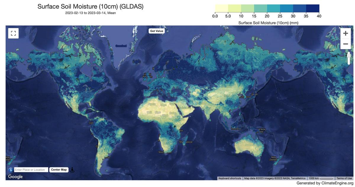
| Surface Soil Moisture (10cm) | mm |
| Total Runoff | mm |
References
- Rodell, M., P.R. Houser, U. Jambor, J. Gottschalck, K. Mitchell, C.-J. Meng, K. Arsenault, B. Cosgrove, J. Radakovich, M. Bosilovich, J.K. Entin, J.P. Walker, D. Lohmann, and D. Toll, The Global Land Data Assimilation System, Bull. Amer. Meteor. Soc., 85(3), 381-394, 2004. http://www.jstor.org/stable/26216951
Website: https://ldas.gsfc.nasa.gov/gldas/
Terms of use
Distribution of data from the Goddard Earth Sciences Data and Information Services Center (GES DISC) is funded by NASA's Science Mission Directorate (SMD). Consistent with NASA Earth Science Data and Information Policy, data from the GES DISC archive are available free to the user community. For more information visit the GES DISC Data Policy page.