ACIS NRCC NN - 5km - Daily
Description
The ACIS Climate Maps are produced daily using data from the Applied Climate Information System (ACIS). Station data in ACIS primarily come from the following networks: National Weather Service Cooperative Observer Program (NWS COOP), Weather-Bureau-Army-Navy/Automated Surface Observing System (WBAN/ASOS), Snow Telemetry (SNOTEL), Community Collaborative Rain, Hail, & Snow (CoCoRaHS) Network, Remote Automatic Weather Stations (RAWS).
Climate Engine details
- Dataset type
- Climate/Hydrology
- Climate Engine ID
- ACIS_NRCC_NN
- Documentation
- https://support.climateengine.org/article/47-acis-nrcc-nn
Dataset details
- Scale
- 5km
- Frequency
- Daily
- Coverage
- CONUS
- Start year
- 1951
- End year
- Present
Earth Engine collection details
- Earth Engine asset
- projects/climate-engine-pro/assets/noaa-nrcc-acis-nn/daily
- Earth Engine asset URL
- https://gee-community-catalog.org/projects/noaa_acis/?h=acis
- Earth Engine source catalog
- ClimateEngine.org
Variables
API variable docs: #acis-nrcc-nn
| Name | Units |
|---|---|
| Evap. Demand Drought Index Hargreaves (EDDI) | N/A |
| Maximum Temperature | K |
| Minimum Temperature | K |
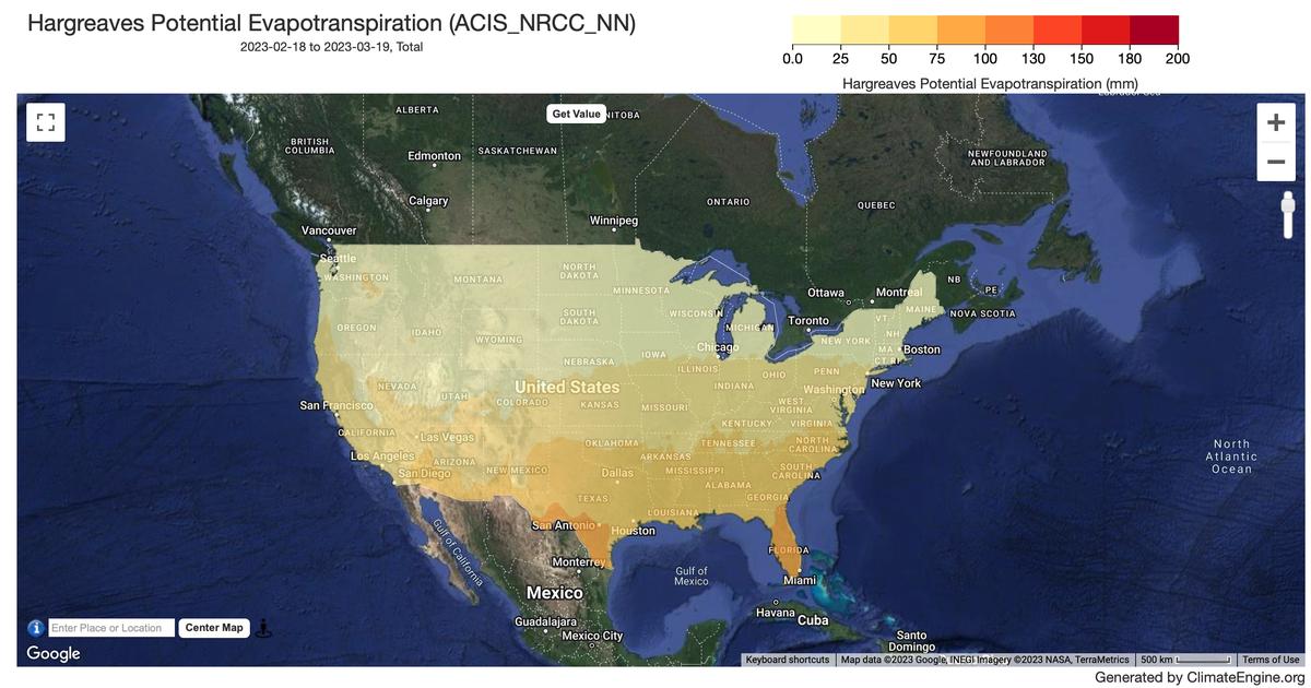
| Potential ET Hargreaves | mm |
| Potential Water Deficit Hargreaves | mm |
| Precipitation | mm |
| Standardized Precipitation Evapotranspiration Index Hargreaves (SPEI) | N/A |
| Standardized Precipitation Index (SPI) | N/A |
References
- None
Website: https://www.rcc-acis.org/examples.html
Terms of use
Climate products and tools are developed by the Regional Climate Centers to provide users with a means to routinely access recent weather and climate data. While applied research has demonstrated that the use of such data in decision making can reduce risk and lower a user's cost, it must be pointed out that near-real-time data are preliminary in nature and sometimes contain errors. Although care is taken to remove known errors, it is possible that some data will change after receipt of written records and final quality control steps. Users are therefore forewarned to consider any negative impact that errant data might have on their business and use preliminary data and information at their own risk. The Regional Climate Centers are not responsible for the misuse or abuse of data provided through our services.